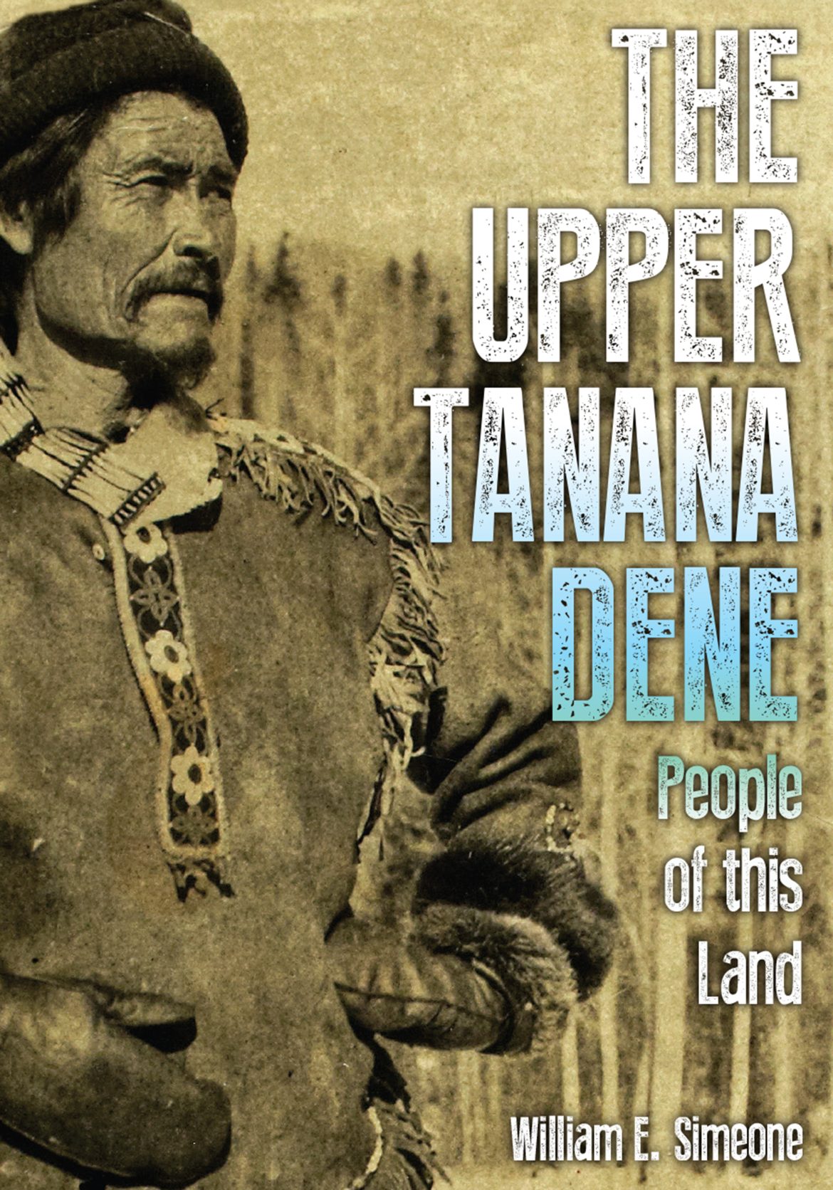
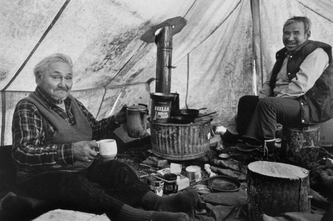
Oral history on the upper Tanana Dene released The Upper Tanana Dene, People of this Land (University of Alaska Press), offers a portrait of an Alaska Native people both before and during the transformative changes of the 20th century. It centers around oral accounts from Dene elders born in the late 19th and early 20th centuries. Additional historical and anthropological information provides context. The upper Tanana region of eastern Alaska is bordered on the south by the Wrangell Mountains and on the north by the rolling Yukon-Tanana uplands. It’s a boreal forest landscape with broad river valleys, expansive wetlands, and abundant fish and wildlife that includes migrating herds of caribou. “It is a landscape lived in and lived with,” writes author and anthropologist William E. Simeone, who has lived there for 50 years. While parts of Alaska felt Russian, missionary, and other influences earlier, the upper Tanana remained largely isolated…
Alaska Native place names in this issue Iilgayaq (Bristol Bay) Possibly refers to a place to hide. Some Yup’ik language speakers say the name describes all of Bristol Bay, while others say it only refers to the Nushagak area of the bay. See the “Sense of Place” section for more on this special place. (source: Bristol Bay Native Corporation online place names mapping tool) Utqiagvik On December 1, 2016, residents of Barrow, mentioned in the “History” section, narrowly voted to change the city’s name to Utqiagvik, an Inupiat name meaning “place to gather wild roots.” (source: Inupiat Heritage Center) Taan (Prince of Wales Island) The Tlingit word for sea lion and the setting for the “Community” article. (source: Our Grandparents Names on the Land, edited by Thomas Thornton)
By photographer James H. Barker The following pages present a tiny fraction of the extensive body of work (largely focused on Alaska Native peoples) created by legendary Fairbanks photographer James H. Barker. Now in his mid-80s, Barker was recently honored as the Rasmuson Foundation’s 2022 Distinguished Artist, the first photographer to receive the prestigious award. His photos, reproduced here from Always Getting Ready: Upterrlainarluta: Yup’ik Eskimo Subsistence in Southwest Alaska, are the result of 18 years spent capturing the intimate moments of the people of the Yukon-Kuskokwim Delta to give viewers a glimpse of Native life. Over those years, Barker joined his Yup’ik friends and subjects on whale hunts and trapping trips, in steam baths, and at fishcamp. Though each image represents a single, frozen instant, Barker’s work transcends the individual moment to reveal universal beauty and connection. See more of his work at jamesbarker-photography.com. —Michelle Theall
Young Inupiaq captains provide food for their community Text by Molly Maqpee Lane, Images by Nathaniel Wilder Time stands still when you catch a bowhead whale. Meetings are canceled, work is forgotten about, chores go undone, the kids don’t go to school, and sleep is out of the question. The only focus is on harvesting the giant mammal. Sometimes it can take hours, sometimes it takes days to put away. It’s such a joyous time that it doesn’t feel like work. Thomas Edison once said, “I never did a day’s work in my life. It was all fun.” That is what whaling is all about. I am from Point Hope, Alaska. It is the oldest continuously inhabited region in North America. We have always been an Inupiaq subsistence community. Thanksgiving of 2022, my in-laws Jacob and Della Lane Jr. passed down their whaling crew to my husband, Jacob Lane III,…
Following the old timers’ trail I pulled alongside my traveling partner Clarence Wood. Following his lead, I tapped my snowmachine’s kill switch. Break time. As I unscrewed the cap of my thermos and poured steaming cups of coffee for us both, melting snow hissed on our mufflers. The upper Redstone valley stretched northward into a blue-white ache. Ahead lay Iviisaq Pass, known for its terrain-driven winds; and beyond, an expanse of treeless, unpeopled country, not so much as an inhabited cabin until the village of Anaktuvuk Pass, 200 more miles to the northeast. Our laden sleds, the sort once pulled by dogs, bore gas, food, and gear to sustain us for nearly double that distance. This was our first break since we’d set out from our village of Ambler, on the upper Kobuk, outward bound on a great loop that would carry us to Anaktuvuk, south to the Koyukuk, then…
Reluctant Alaskan hero by Ray Cavanaugh Wrangel Island was never a place people would visit unless they had a really good reason. Technically part of Russia, it’s some 300 miles north of the Arctic Circle and almost as many miles away from the Alaskan coast. It tended to attract young men seeking adventure, danger, and perhaps some personal glory. For the first two, the island was a safe bet. The glory part, however, proved rather more elusive, often fatally so. This hostile piece of territory, with far more polar bears than people, had managed to become a source of international controversy, with Russians, Americans, and Canadians at different points making claims for their homeland. All this was far outside the thoughts of Ada Blackjack, until a set of life circumstances placed her directly on Wrangel’s icy surface and forever linked her name to its formidable legacy. An Alaskan Inupiat, Ada…
NOTE: Map is reprinted with permission from Travel Alaska (travelalaska.com) and Alaska Native Heritage Center (alaskanative.net); edited text is courtesy of Travel Alaska. IÑUPIAQ & ST. LAWRENCE ISLAND YUPIK The Iñupiaq and the St. Lawrence Island Yupik people call themselves the “Real People.” Their homeland covers Alaska’s northern Arctic region, remote and diverse, and accessible primarily by plane. Filled with an amazing array of wildlife and a landscape ranging from coastline to tundra, Alaska Natives here rely on subsistence. SUGPIAQ & UNANGAX The southwest region’s coastal communities and archipelago are defined by rugged shoreline and terrain. Having long depended on the sea for survival, water is central to the Unangax̂ and Sugpiaq way of life. Their homeland stretches from Prince William Sound to Kodiak Island and along the 1,200-mile-long Aleutian Islands Chain. TLINGIT, HAIDA, EYAK, & TSIMSHIAN The southeastern panhandle is home to the Tlingit, Haida, Eyak, and Tsimshian.…
Clothing for the Tundra from the Tundra When Dr. Rebecca Wilbur moved to Fairbanks in 2005, she was shocked at how different it was from Quinhagak, the Yup’ik village where she grew up. It wasn’t just the trees, which didn’t exist at the mouth of the Kanektok River. Or the fact that her freshman class at the University of Alaska Fairbanks contained more people than her entire village. She missed the Native values that were rooted in the tundra, the deep connection to family and land. Nearly two decades later—after getting married, starting a family, and becoming an optometrist—Rebecca still lives in Fairbanks, and still misses home. She started Tundra Flower Designs in 2021 to create clothing designs that made her feel closer to the tundra. It turned out to be much more. —AS TOLD TO AND EDITED BY MOLLY RETTIG You started drawing these designs as a hobby during…
Lingítin the Classroom A Juneau School District Lingít language and culture program that began in 2000 is expanding. Through a Sealaska Heritage Institute grant and support from the school district, the program recently hired its first permanent principal and is now available to middle school students. In May, the school district hired Eldri Waid Westmoreland as the program’s new principal. Westmoreland, who is Lingít, taught at the preschool, elementary, and middle school levels over three decades. She also owns Math Raven, an Indigenous education, research, and curriculum firm. Molly Box, who served as interim principal for the program for several years, describes it as an elective curriculum that is place-based and uses oral narrative themes and stories often connected to seasonal harvest activities. “It’s very connected to the land and the Lingít culture,” says Box. In addition to hiring Westmoreland, the Sealaska grant will bring in new teachers, additional help…
Newly discovered images by Edward Curtis In 1927, photographer Edward Curtis left Seattle for Nome on the final leg of a journey that had taken him across the continent. He’d devoted three decades to a project called “The North American Indian,” a 20-volume collection of photographs of Native Americans taken on their lands. Alaska Natives along the Bering Sea coast would be his final subjects. Upon reaching Nome, Curtis purchased a boat, hired a skipper, and with his grown daughter Beth Curtis Magnuson and his longtime assistant Stewart Eastwood, traveled to numerous villages, taking pictures of Indigenous residents whose forebears had inhabited the land for thousands of years, and who had only recently come into full contact with Europeans. Curtis was a portrait photographer by trade, and his work reflects this. “When you look at all the other photographers in the same period that were out taking pictures of…


